Atlas Essay — 2026-08-14
Where the Flood Is Not Remembered
Africa, Siberia, Fennoscandia, and what the blanks on the map are made of

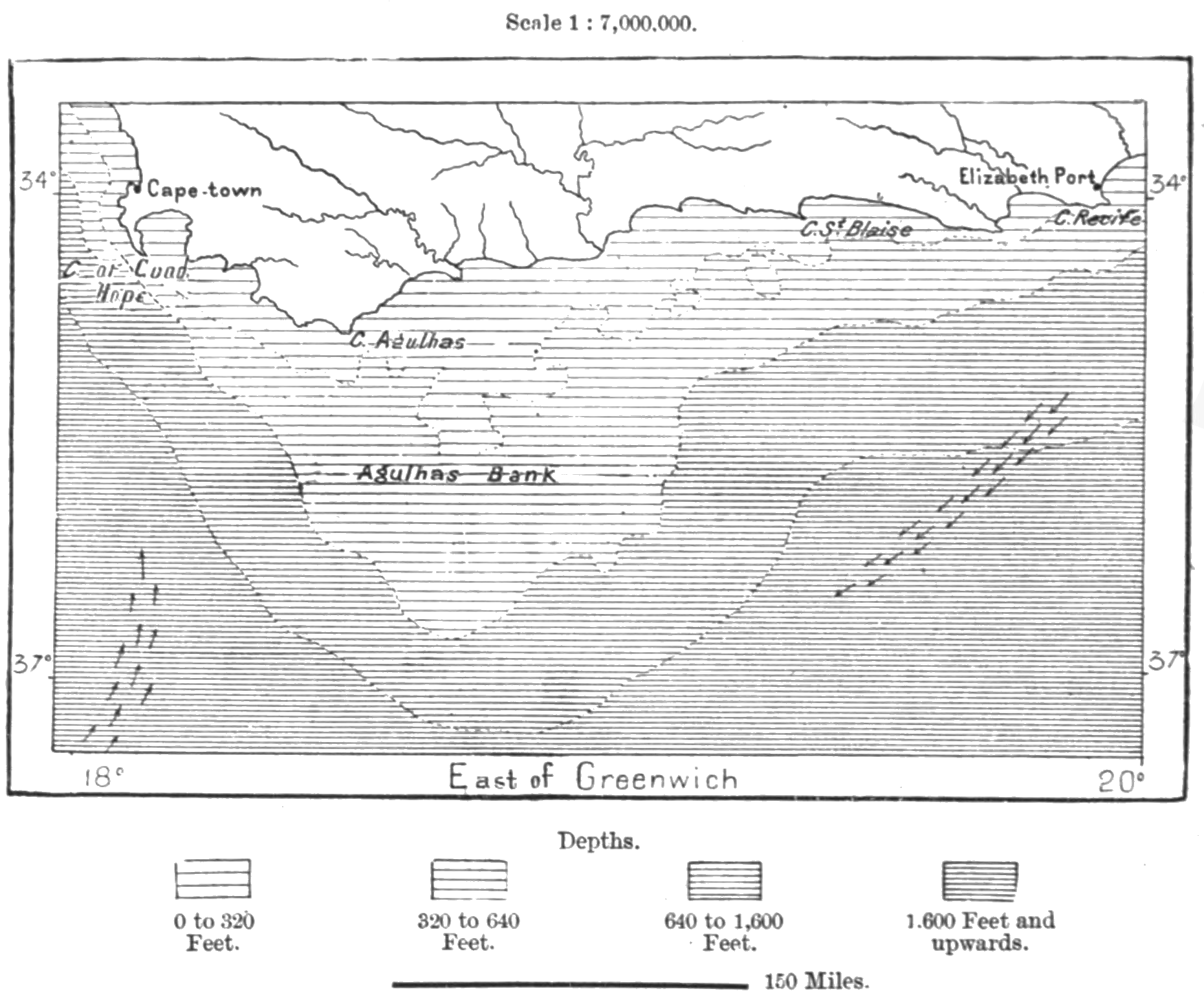
At the last glacial maximum the Agulhas Bank stood dry: a grassland the size of Ireland reaching south from the Cape, grazed by great herds and hunted by people whose descendants are still there. The sea took essentially all of it by the early Holocene. It is one of the best-documented drowned landscapes on earth, and the people who lost it left the richest body of un-missionised oral tradition recorded anywhere in Africa — thousands of pages taken down from ǀXam speakers in Cape Town in the 1870s. Nothing in it remembers the plain. Go looking south of the Sahara and the result is the same: one tradition, out of four hundred and fifty-two on this Atlas’s maps, that can be set against a landscape the Ice Age changed. The flood myth is not universal. It is regional, and the places it is missing from are as informative as the places it saturates.
Four hundred and fifty-two, and where they are
This Atlas maps flood traditions that can plausibly be about the end of the Ice Age: a sea that rose and kept the land, a glacial lake that drained, a strait that opened, a plain that went under. Stories about a river in flood, or a wave a thousand years ago, do not count. The water has to have changed the map and kept it changed.
Applied region by region, it produces a distribution that is nothing like even:
| Region | Traditions |
|---|---|
| Sahul — Australia and New Guinea | 95 |
| North America | 67 |
| East Asia | 70 |
| Sundaland | 57 |
| South America | 57 |
| The Mediterranean Near East | 46 |
| South Asia | 37 |
| Doggerland | 12 |
| Northern Asia — Siberia, the Altai, Central Asia | 3 |
| Africa — the whole continent | 8 |
Australia and New Guinea hold nearly a hundred. Africa holds eight, and seven of them stand on its Mediterranean and Red Sea rim, where Egypt faces the flood world of the Near East — one of them a written text insisting that the floods were many and happened to other people. South of the Sahara the whole continent holds one, and Siberia three. That is not a difference of degree.
The obvious explanation would be that nothing happened in the empty places. It is the wrong explanation: more of the world’s map was rewritten in Africa and northern Asia than almost anywhere else.
The plain that nobody remembers
The Palaeo-Agulhas Plain lay off what is now the southern Cape of South Africa. Through the glacial maximum it was open grassland with rivers running across it, carrying grazing herds on a scale the region has not seen since, and people hunted it from the caves along what was then an inland escarpment — Pinnacle Point, Blombos, Klasies River, some of the most important archaeology of modern human origins anywhere. Then the sea came up and took the whole of it, and the escarpment became the coast.
That is San and Khoe country. And the ǀXam archive assembled by Wilhelm Bleek and Lucy Lloyd in the 1870s is the single richest record of a hunter-gatherer cosmology ever taken down in Africa: thousands of notebook pages of narrative dictated by ǀa!kunta, ǁkabbo, ǀhanǂkass’o and Diä!kwain, transcribed phonetically and translated line by line.
Go through it for water and the sea and the flood, and here is what is there. The rain is a bull or an eland, and can be captured or offended; a girl of the Early Race kills the Water’s children and a whirlwind carries the camp into the spring, and the family become frogs. A hunting simile says the springbok resemble the water of the sea, meaning a herd so vast that the Boers ran out of shot. And ǀhanǂkass’o describes, in November 1878, a flood at Victoria West that carried houses and stock down a Karoo riverbed — his wife was there, it had rained in the night, and he calls the sound of it sorcery’s bell.
That last one is a real flood, remembered exactly, by a named man who could tell you who was present. It is also a nineteenth-century cloudburst. The ǀXam were interior Karoo people; they had a word for the sea, and ǁkabbo had seen Cape Town. They did not tell of a grassy world that the water took.
This is where the obvious objection dies. Africa’s flood record was largely collected by missionaries, from informants who had already met Noah — so a thin record could just be a contaminated one. Bleek and Lloyd were not missionaries. Their informants were convicts on loan from the Breakwater prison, dictating in their own language to a philologist who wanted the phonetics. It is the least evangelised body of narrative on the continent, it is the largest, it belongs to the people who lost the plain, and it is empty. No archaeologist of the Palaeo-Agulhas programme has set a living tradition beside that drowning, because there is not one to set beside it.
The quietest coast on earth
The Agulhas Plain was Africa’s largest single loss, and it invites a suspicion: perhaps Africa forgot because there was less to remember. That can be measured. Run the same water over every region in this series — the same terrain, the same sea-level curve the maps draw — and ask how far each coast actually moved: take the land that stood above the Ice Age lowstand and is under the sea now, and divide it by the length of the coastline it drowned along. The result is the average distance the shore walked inland while people watched.
| Region | Land the sea took | Average retreat | Traditions |
|---|---|---|---|
| Northern Asia — the Siberian shelf | 2,236,000 km² | 101 km | 3 |
| Doggerland and the Atlantic rim | 438,000 km² | 63 km | 12 |
| East Asia | 1,790,000 km² | 54 km | 70 |
| Sahul | 2,834,000 km² | 54 km | 95 |
| South America | 2,013,000 km² | 48 km | 57 |
| South Asia | 763,000 km² | 48 km | 37 |
| Sundaland | 3,247,000 km² | 48 km | 57 |
| North America | 2,959,000 km² | 41 km | 67 |
| The Mediterranean Near East | 1,143,000 km² | 28 km | 46 |
| Africa | 1,034,000 km² | 23 km | 8 |
Africa is last, and by a distance. Everywhere the traditions run thick, the shore moved between roughly forty and sixty-five kilometres. Africa’s moved twenty-three — the least on earth. The continent has almost no shelf: its floor drops away close to the beach, so a hundred and sixteen metres of water bought the sea less African ground than anywhere else it was spent. Where the Sunda coast came inland a village at a time and kept coming for ten thousand years, most of the African coast stepped back once and stopped. The drowning was real. It was also the quietest on the planet. And the water that did remake African country in those millennia was inland — Victoria refilling from a grass plain, Mega-Chad spreading toward an inland sea, Kivu rising four hundred metres — which is where the continent’s one tradition south of the Sahara sits.
The top of the table is what keeps this from becoming a just-so story. If retreat made memory, northern Asia would out-remember the world: the Siberian shelf is the widest on the planet, its shore walked a hundred kilometres, and it holds three traditions — every one of them already wearing Noah’s clothes. Geometry sets how much there was to see. It does not decide whether the telling survived. Africa’s blank is overdetermined: the least visible drowning on earth, with scripture arriving early on top of it. Siberia’s blank needed the second mechanism alone — and it is the one place the overwriting was caught in the act.
Frazer got there first
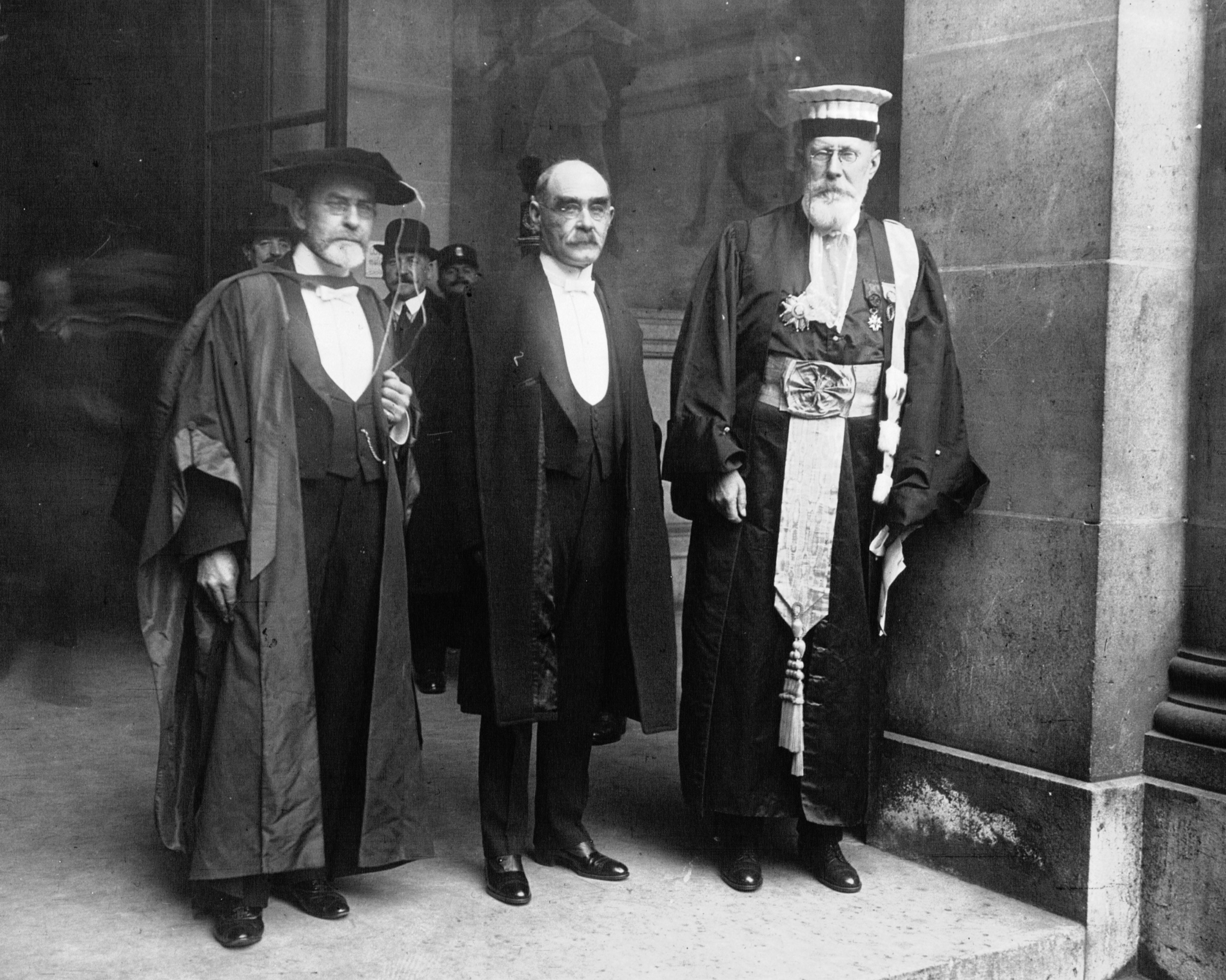
James Frazer went through the deluge stories of the world for the first volume of Folk-lore in the Old Testament, and he was not a man inclined to report an absence when he could report a parallel. On Africa he had to.
“It is curious, that while legends of a universal flood are widely spread over many parts of the world, they are hardly to be found at all in Africa. Indeed, it may be doubted whether throughout that vast continent a single genuinely native tradition of a great flood has been recorded.” — J. G. Frazer, Folk-lore in the Old Testament (1918), vol. 1, p. 329
What he could print in place of the missing traditions ran to three items and a shrug: a Lower Congo story in which the sun plasters mud on the moon and the ancient people put their porridge sticks to their backs and turn into monkeys; a one-line notice that the Bapedi are said to have a flood that destroyed nearly all mankind; and Livingstone at Lake Dilolo in Angola, recording a village that sank with its fowls and its dogs and adding that it was the only such thing he met with in the whole country. Nothing in ancient Egyptian literature. And the Rev. John Roscoe, after twenty-five years among the peoples of the Uganda Protectorate, telling Frazer he had found no native flood legend at all. The East African ark stories Frazer set aside as Bible, and they plainly are.
Robert Moffat had already run the experiment in the south. His inquiries came back empty, and the one man who claimed a deluge of the forefathers turned out to have learned it from a missionary named Schmelen. Moffat drew the moral himself: stories picked up at a mission station or from a godly traveller get so mixed and metamorphosed by heathen ideas, he wrote, that they come to look exceedingly like native traditions.
That is the whole problem in one anecdote. The tradition Moffat was hunting had already been replaced by the thing he was hunting it with — and he could tell, because he knew Schmelen.
The largest floods on earth, unremembered
The other blank runs across northern Asia, and it comes with the most extravagant geology in the world attached.
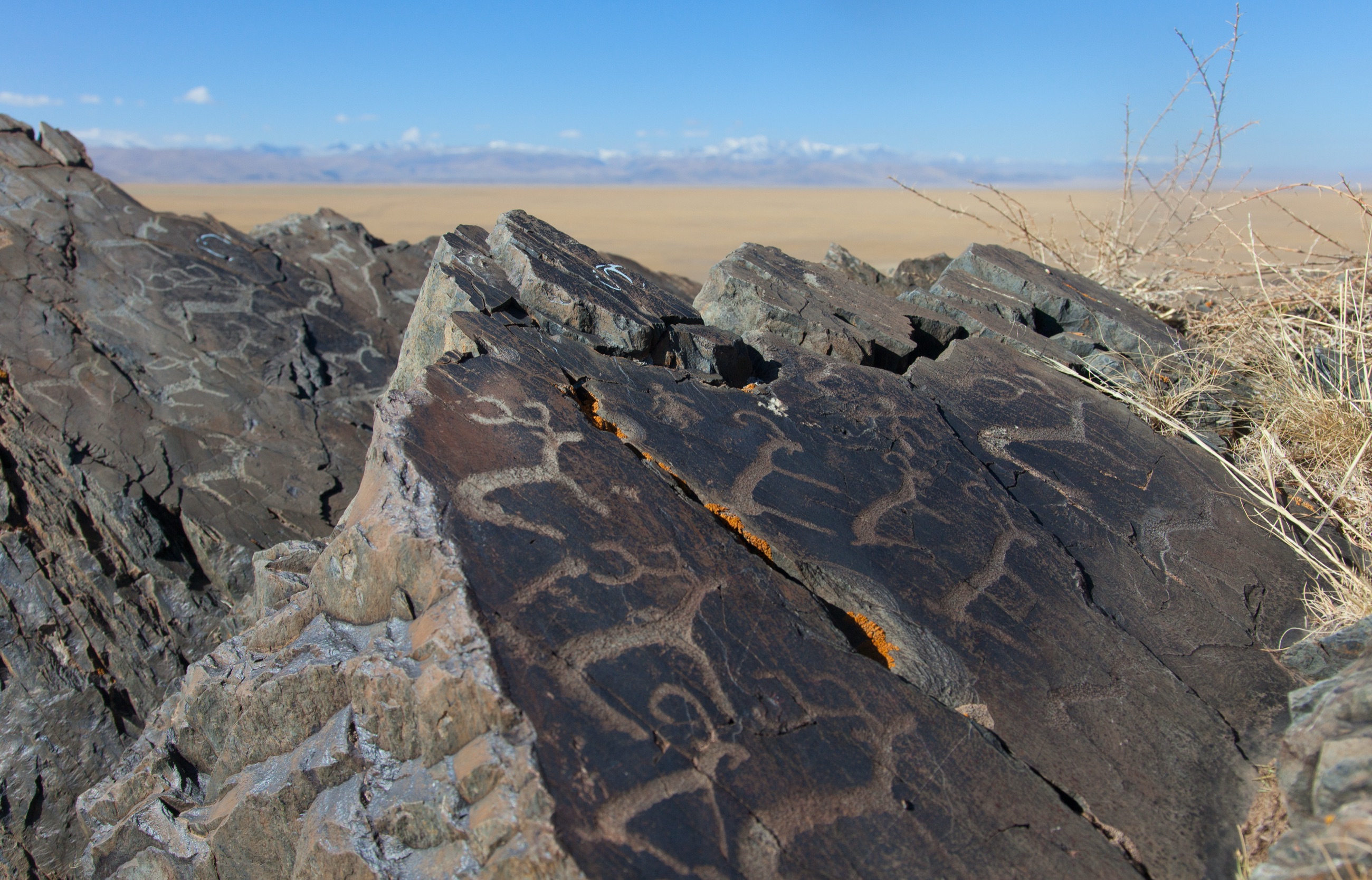
In the Altai, on the Russian–Mongolian border, glaciers repeatedly dammed the Chuja and Kuray basins into deep lakes, and those lakes repeatedly burst. The floods that came out of them are the largest freshwater floods known to have happened anywhere on the planet — discharges beyond anything in the modern world, which scoured the Chuja and Katun valleys and left giant current ripples across the Kuray basin, gravel dunes tens of metres high that you can stand on.
People live there. The Telengit of the Kosh-Agach district live in that exact terrain, and Kuzelesh Yadanova has collected their oral prose village by village — Kurai, Chagan-Uzun, Ortolyk, Mukhor-Tarkhata, Bel’tir, Kokorya. The flood is in there, ten texts of it, and it is attached to the sacred mountains: the survivors climb the ыйык, Kökörü and Irbistü, and on the tops, people say, you can still find the broken timbers of the raft and a bronze cauldron.
Not one of them describes a lake going out. The valleys those people graze were cut by the largest floods in the history of fresh water, and what the stories describe is high water and a landing place — which is the shape of Noah, with Kökörü and Irbistü as the local Ararats.
The same holds along the whole belt. The Khakas raft lands on Mount Borus and gives it its name. The Shor have the ark, the devil, the mouse that gnaws the hull and the cat that stops it — the standard Eurasian legend complex, intact. The Kazakh and Kyrgyz have the ark on Qazygurt. And among the Ob-Ugrians and the Samoyeds the water is doing something different again: in the Mansi, Khanty, Nenets, Nganasan, Selkup and Ket traditions the world begins as water and land is fished up out of it by a diving bird. That is a cosmogony in which land is made. It has no slot for land being lost.
One more thing about the north, and it settles the geology. The great ice-dammed lake of the West Siberian Plain — the Ob and the Yenisei blocked by the Kara ice sheet and ponded into an inland sea — is real, and it is far too old. Its well-attested phases run to ninety and sixty thousand years ago, tens of millennia before anything oral tradition could carry. It cannot be the memory behind the Samoyed flood, and it should stop being offered as one.
What did survive: one lake, and one that only looks like it
Africa is not quite empty, and the single thing that came through is worth having.
Imana gives a farmer a bull on the condition that he tell nobody. His wife finds out and the secret gets out, and Imana floods the man’s whole country. The water stays: it is Lake Kivu, on the border of Rwanda and the Democratic Republic of the Congo, and the few hilltops that stood above the flood are its islands.
Lake Kivu did that. Douglas Wood and Christopher Scholz reconstruct the basin as very nearly dry around twenty thousand years ago, and then, at about twelve thousand two hundred, a transgression of more than four hundred metres that established the southern overflow the lake still uses. Jean-Pierre Descy, François Darchambeau and Martin Schmid, writing the standard limnology of the lake, open their history of it with the Imana story and set it beside that refilling. Four hundred metres is a lake climbing the hills, and the islands in it are the hilltops the story says they are. Albert Pagès had the narrative down in Anthropos in 1919, from the Banyarwanda, before any of the geology existed to be fitted to it.
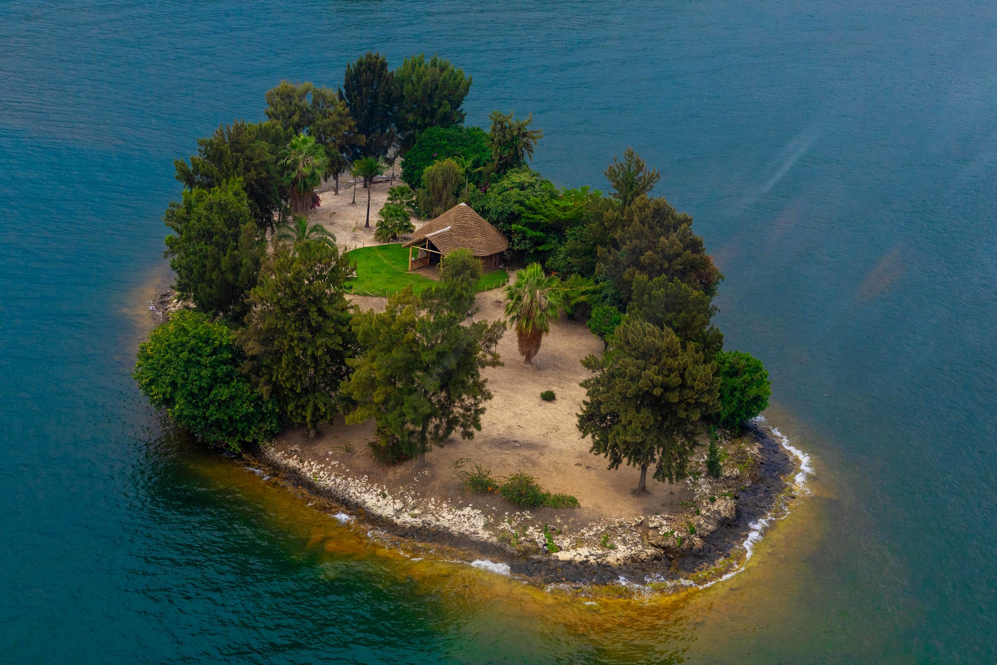
A thousand kilometres north there is a second story, and it is worth following to the bottom.
The story goes that a woman named Sepenya lived on a dry plain in what is now the Turkana basin, drank at a spring, forgot to put the lid back on it, and the spring came up and made the lake. She and her son are the ancestors of the El Molo, who call themselves Gurapau, the people of the lake, and who fish it still. The geology cooperates handsomely: Turkana rose after about twelve thousand years ago, flooded wide low plains and overflowed north toward the Nile.
The story has no published record behind it. It surfaces in 2018 on a Kenyan blog, credited to a tour guide, and every later appearance descends from that page. The El Molo are among the most-studied small peoples in East Africa — Dyson and Fuchs took the first ethnography in 1937, when there were eighty-four of them left, and Neal Sobania, Bernd Heine and the National Museums of Kenya have all worked on them since. Not one of those records carries Sepenya. The autonym is real. The origin tradition the scholarship does carry is a migration out of Arbore country in Ethiopia, which the language corroborates and which is not a flood.
So Africa south of the Sahara yields one. And the near-miss is the more useful half of the result, because it shows the mechanism working in the present tense: a people who live on an island in a lake that really did arrive, telling a story about the lake arriving, that nobody wrote down in ninety years of visiting them.
What got there first
Set the blanks against the geology and the explanation cannot be that nothing happened.
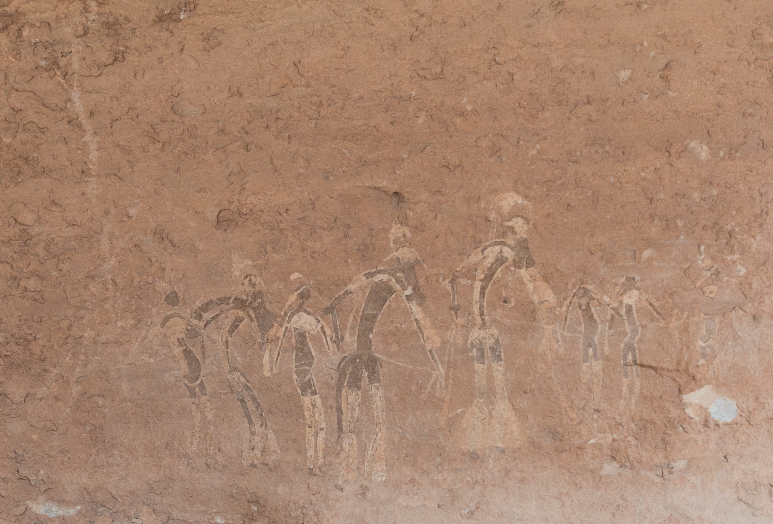
Lake Mega-Chad, at its African Humid Period highstand, covered on the order of three hundred and fifty thousand square kilometres of what is now the Sahara, and then collapsed to the remnant we call Lake Chad; the Bodélé Depression is its floor and the Bahr el Ghazal its drain. The Green Sahara itself — rivers, lakes, fish, hippo, cattle and the people who painted them at Tassili and Acacus — ran wet from roughly fifteen thousand years ago and then dried to hyper-arid desert at about five and a half thousand, in front of witnesses who had been painting the animals on the rock for millennia. Lake Victoria was dry, or nearly, through the glacial maximum, and refilled from about fourteen and a half thousand years ago: an inland sea the size of Ireland appearing where there had been grassland. Palaeo-lake Makgadikgadi filled the Kalahari. The Gulf of Guinea, Namibian and Mozambican shelves all drowned on schedule.
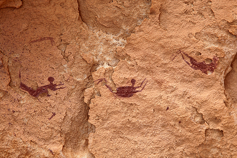
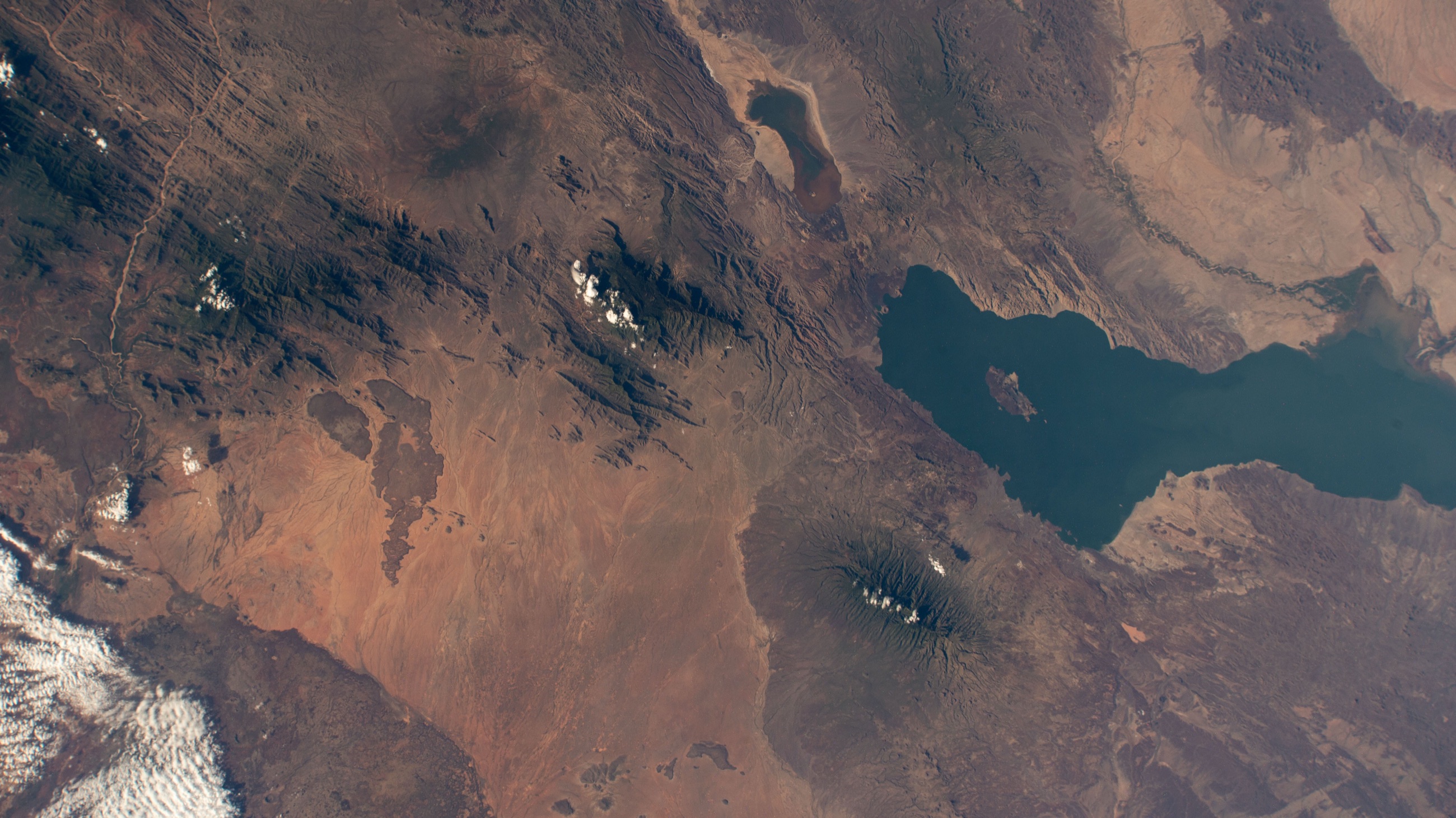
Africa has as much end-of-Ice-Age landscape change as any continent on earth, and south of the Sahara it narrates none of it — the traditions on its northern rim are literate observers reading the ground, not the ground’s own peoples telling what it did. Northern Asia has the largest floods in the world and narrates high water on a mountain.
What both regions do have is a book. Christianity reached Ethiopia in the fourth century and the Nile valley before that; Islam crossed the Sahara from the eighth; missionary work covered most of the rest of the continent in the nineteenth. Orthodoxy moved through Siberia with the Russian state, and Islam through the Turkic south. Everywhere they went they brought a flood — a very good one, with a boat, a mountain and a bird, portable, memorable, and endorsed.
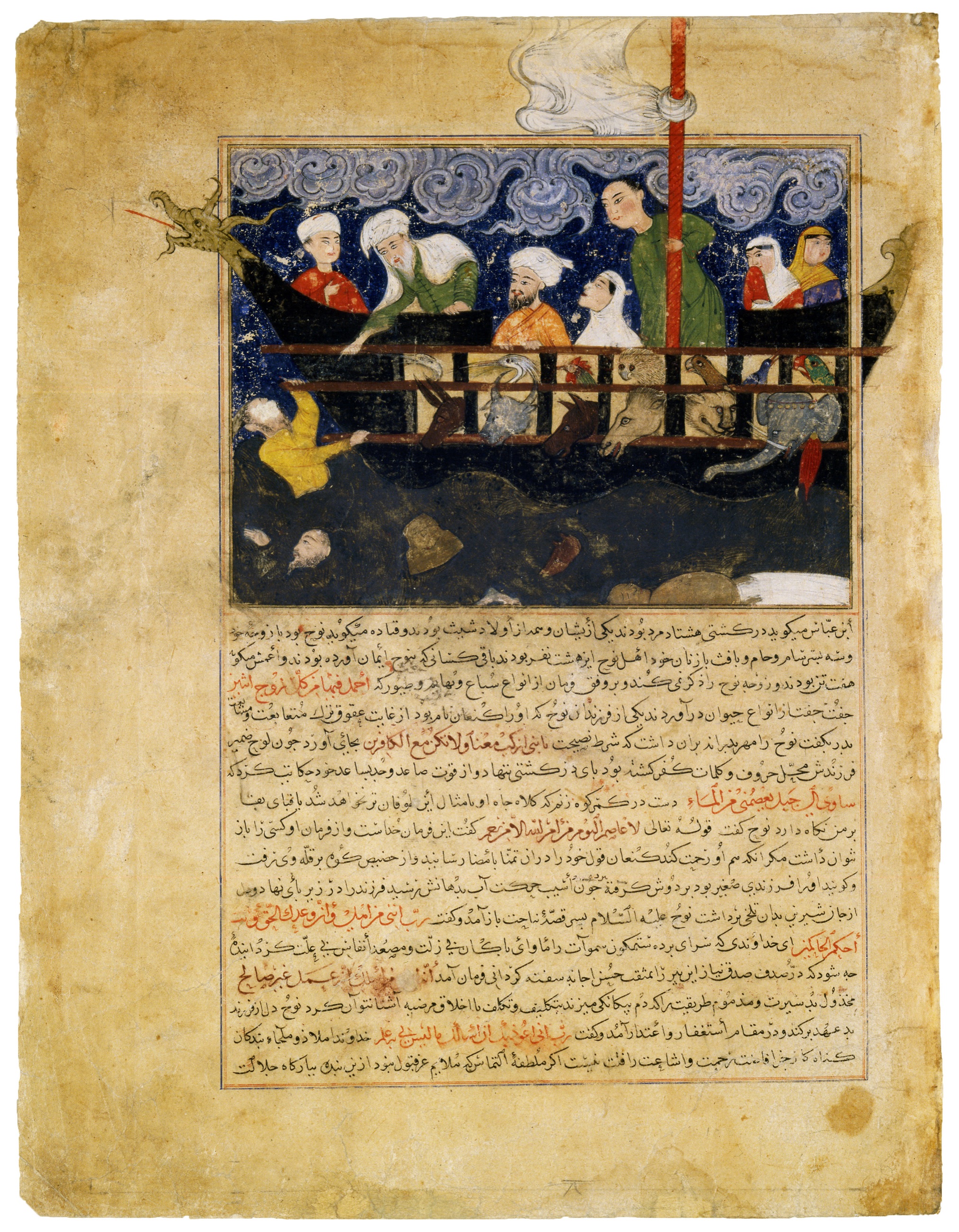
A flood story is exactly the thing that gets overwritten by a better flood story, because the two occupy the same slot. You cannot hold both, and one of them arrives with literacy, authority and a reason to prefer it. Nadezhda Oinotkinova, working through the southern Siberian corpus, identifies it outright as biblical legend adapted into local mythology — the Altai narrators are not telling a garbled Ice Age memory, they are telling Genesis with the names changed to the mountains outside.
The obvious counter-example is in the table above. The Mediterranean Near East — the Levant, Anatolia, Mesopotamia, the Black Sea rim — is the deepest scriptural ground on earth and holds forty-six traditions. North America was evangelised coast to coast and holds sixty-seven. Neither was emptied, and the reason is that displacement needs the incoming story to want the same piece of ground. Around the Black Sea and the Gulf, Noah is the local tradition: Utnapishtim, Ziusudra, Atrahasis and Deucalion are the same flood in older clothes, attached to the same rivers and the same shore, and the book that arrived was a cousin rather than a rival. In North America the missions came late, in force, and mostly in the nineteenth century — by which time Boas, Swanton, Teit and Dorsey were already in the villages with notebooks, taking down the flood the missionaries were displacing. Africa and the Altai got neither reprieve. Scripture arrived early, arrived alone, and arrived before anyone was writing the local version down.
The earth-diver does something subtler in the one belt where it rules alone. Where the cosmogony says the world began as water and land was brought up out of it by a diving bird, there is no conceptual room for land that used to be there and went; losing ground is not a thing that can happen in that account of how ground came to exist. The earth-diver is told across half the northern hemisphere and mostly it is one story among many — in North America it sits beside deluges, escapes and remade coasts without troubling any of them. Across Samoyedic and Ob-Ugrian Siberia and into Finnic and Karelian northern Europe it is not one story among many. It is the account of origins, with no competitor, and the water in it only ever recedes.
Now look at where the traditions did survive. Arnhem Land and the Sepik. The interior of Amazonia. The Northwest Coast. The eastern Himalaya. These are places a book reached late, reached partially, or reached after the collectors did — and Sahul is the extreme case at both ends, with the deepest continuous occupation on earth and the shallowest overlay of anybody else’s flood.
Sundaland and the Andes look at first like exceptions and are in fact the confirmation. Both were converted early and hard — Islam through the archipelago from the thirteenth century, Catholicism in the Philippines from 1565, the extirpation of idolatries in Peru from the 1530s — and both still hold nearly sixty traditions each. What survived there is not a religion’s failure to arrive. It is a flood already welded to a named place: this strait, this ridge, this lake, this stretch of drowned shelf. A story pinned to ground is much harder to lift than a story about the world in general, which is why what the imported flood emptied out first, everywhere it went, was the unlocated kind.
Which yields a prediction. If displacement is the mechanism, then whatever survives in Africa should be found where scripture reached last: inland, small, out of the way, ideally speaking a language nobody else speaks. The survivor is Kivu: an inland Rift lake in the hills of Rwanda, a thousand kilometres from any coast and from any early mission, written down by a priest working in the local language in 1919. One survivor south of the Sahara, and it is exactly where the mechanism says to look.
Mapped traditions
All mapped traditions
| No. | Place and tradition | What the story remembers | World after the water | Story and landscape | Source |
|---|---|---|---|---|---|
| The Nile valley and delta | |||||
| 1 | Saïs, western Nile delta — Egyptian priestly tradition, told to Solon | An old priest at Saïs told the Athenian lawgiver Solon that his people had no memory: you Greeks are always children. The world, the priest said, is wrecked over and over, most often by fire and by water — and the deluge the Greeks remember as the flood was only one of many. When the fire comes, the people by the rivers and the sea live. When the flood comes, the herdsmen high in the hills live and everyone in the cities drowns. | The survivors are the ones who cannot write. Each time, the towns, the records and the names go under together, and a country begins again from shepherds who know nothing of what came before. Egypt is the exception, because the Nile spared it: no sea came in, no storm rain fell, the river rose gently from below, and the priests kept writing. The proof the priest offers Solon is a war the Greeks had forgotten entirely — Atlantis, nine thousand years gone. | Literature, not report: the passage is Plato constructing an argument about memory (Timaeus 22a–23c). Africa’s written flood tradition claims that the deluges were many and regional, and that they are remembered only where the disaster did not reach. Egypt, with the most predictable flood on earth, kept records of everyone else’s. That is this essay’s argument, stated twenty-four centuries early. | Plato, Timaeus22a–23c |
| 2 | Faiyum and Lake Moeris — Egyptian priestly tradition in Herodotus | The priests told Herodotus that under the first king, Min, all Egypt except the Thebaid was swamp, and no land north of Lake Moeris stood above the water at all. Herodotus went out and checked: sound the sea a day’s sail off the coast and the lead comes up muddy. | Every field the Egyptians work is land the river handed them out of the water. He points at the shells lying out on the hills and the salt sweating out of the pyramids and says the sea was there before the country was. | Partly right as geography and wrongly dated by its own source. The Faiyum did hold a far larger lake in the early and mid-Holocene, and the Delta is genuinely built of river sediment — but Herodotus’s informants place it in dynastic time, and he argues it from silting rates rather than inherited memory. Ancient observational reasoning, roughly right about the process and badly wrong about the timescale. | Herodotus, Histories Book 22.4–2.5 and 2.10–2.12 |
| 3 | Heliopolis — Egyptian spell for not dying again | Osiris arrives in the necropolis and finds it insupportable — no water, no air, very deep, very dark, everything lacking, nothing to do but lie quiet with no pleasures to be had — and says so to Atum, who answers that he has given blessedness instead of water and air, and quietness of heart instead of bread and beer. Osiris asks how long a lifetime of life is. Millions of millions, Atum tells him, and then: I will destroy all that I have made, and this land will go back into the Deep, into the flood, as it was before. Only I shall survive, together with Osiris, after I have taken my other shapes — snakes that men do not know and gods do not see. | Nothing is founded and nothing is repopulated. Egypt’s other floods make a world; this one takes it back. The two who are left are not a couple in a boat but the creator and the dead god, coiled and invisible in the water that was there at the beginning. | Wholly cosmological: the water is the Nun, the uncreated deep, and it has no shore that could be tested against anything. It is the region’s one flood that closes the world instead of founding it, and the survivors are serpents. The coordinate is Heliopolis, Atum’s city; the spell’s own named places are Heracleopolis and Naref. | T. G. Allen, The Book of the Dead or Going Forth by Day, Studies in Ancient Oriental Civilization 37 (Chicago, 1974)Spell 175, printed p. 184: “This land shall return into the Deep, into the flood, as it was aforetime. (Only) I shall survive together with Osiris, after I have assumed my forms of other (snakes) which men know not and gods see not.” |
| 4 | Tomb of Seti I, Valley of the Kings — Egyptian Book of the Heavenly Cow | The sun god had grown old, and people said so behind his back and plotted against him. He sent out his Eye as a goddess to kill them, and she killed until she liked it. To stop her, he had barley beer brewed and dyed red as blood, seven thousand jars of it, and poured out over the fields in the night to a depth of three palms. She came at dawn, saw her own reflection in what she took for blood, drank until she was drunk, and forgot what she had come for. | The people left alive that morning are the people alive now. The god, sick of them, climbed onto the back of the sky-cow and withdrew upward, and in going he set heaven above, earth below and the land of the dead beneath — the world in the shape it has kept since. | The inundation is beer on farmland, and reads as an image drawn from the annual Nile flood over fields rather than from any marine change. What it hands back is the charter, not a coastline. | Book of the Heavenly Cow, Nederhof editionEarliest complete copy in KV17, tomb of Sety I; fields “filled to a height of three palms”; compare Lichtheim, Ancient Egyptian Literature II, pp. 197–199 |
| The desert's remembered seas | |||||
| 5 | Siwa Oasis — Eratosthenes’ report of the desert seashore | On the desert road to the oracle of Ammon, three thousand stades inland, travellers walked over mussel, oyster and scallop shells, salt beds and springs of brine, and found the timbers of seagoing ships. The people there said the wreckage had been thrown up out of a chasm. | The oasis was read as an old shore. Sacred envoys from Cyrene set up dolphins on small columns there, inscribed with their office — sea creatures dedicated in the middle of the Sahara. | Ancient observation of real marine fossils, but they are geological and tens of millions of years old, nothing to do with postglacial change; the ships’ timbers are an informant’s gloss. The classical world is doing palaeontology here, and doing it badly. | Strabo, Geography, reporting Eratosthenes1.3.4 |
| 6 | Chott el Djerid / Lake Tritonis — Libyan lake tradition (Machlyes and Auseans) | Greek writers describe a great lake in Libya called Tritonis, with an island in it and peoples living all round the shore — the Machlyes on one side, the Auseans on the other. Jason’s ship was blown off Malea to Libya and grounded in its shallows, and the god Triton showed the crew the way out in return for a bronze tripod. Diodorus adds that the lake later dropped out of sight in an earthquake, when the side of it towards the ocean was torn open. | The water goes and the peoples who lived on it are left in dry country. What survives is the ritual: once a year the Ausean girls split into two sides and fight with stones and staves for Athena, whom they call the daughter of Poseidon and the Tritonian lake, and those who die of their wounds are declared to have been no virgins. | The Tunisian chotts did hold large lakes in the African Humid Period, and the Gulf of Gabès coastline has moved substantially — so a great lake in southern Tunisia is not a fantasy. But Diodorus’s earthquake is an explanatory device, ancient geographers disagreed about where Tritonis was, and the nineteenth-century “Sahara Sea” schemes have left bad literature around this exact lake. | Herodotus 4.178–180; Diodorus Siculus 3.53–3.55Herodotus 4.178–180 (lake, island Phla, the yearly Athena festival); Diodorus 3.53.4 and 3.55.3 (the marsh disappears in an earthquake) |
| The Red Sea | |||||
| 7 | Red Sea voyage toward Punt — Middle Kingdom Egyptian Shipwrecked Sailor | A storm and towering wave destroy an Egyptian ship and its 120-person crew. The lone sailor washes onto a rich island ruled by a golden serpent, itself the survivor of a destroyed family. The serpent foretells the sailor’s rescue—and says the island will then disappear beneath the waves forever. | The sailor returns to Egypt with the island’s aromatics and marvels, is presented to the king, receives rank and attendants, and reaches his children. The serpent’s island vanishes from the human sea route. | A Middle Kingdom story with a disappearing island in it. The island is a marvel rather than a located piece of drowned coast, and it goes under by prophecy rather than by a rising sea. | P. Hermitage 1115, Tale of the Shipwrecked SailorPapyrus cols. 27–39 (storm and sole survivor), 109–115 (island will become waves), 160–189 (return); Pereira and Rocha da Silva 2023, pp. 1–91 |
| The East African Rift | |||||
| 8 | Lake Kivu — Banyarwanda | Imana gave a farmer a bull on one condition, that he tell nobody. His wife found out, the secret got out, and Imana flooded the man’s whole country. | The water stayed. It is Lake Kivu, and the few hilltops that stood above the flood are its islands. | Douglas Wood and Christopher Scholz reconstruct the basin as very nearly dry about twenty thousand years ago, then rising more than four hundred metres from about twelve thousand two hundred, which established the southern overflow the lake still uses. Descy, Darchambeau and Schmid open the standard limnology of the lake with this story and set it beside that refilling. Albert Pagès had the narrative from the Banyarwanda in 1919, before the geology existed to be fitted to it. | Albert Pagès in Anthropos 14–15 (1919–20), with Descy, Darchambeau and Schmid, Lake Kivu: Limnology and Biogeochemistry of a Tropical Great LakePagès, Anthropos 14–15 (1919–20), pp. 944–967; Descy et al. (2012), p. 2; lake-level history from Wood & Scholz, Journal of African Earth Sciences 134 (2017), pp. 904–916 |
The argument from the blanks
The universal flood myth is one of the durable ideas in comparative mythology, and it is usually offered in one of two forms: either every people has a flood because every people saw the water rise, or every people has a flood because the human mind produces one. The first is diffusionist, the second is psychological, and both need the distribution to be even.
It is not even. On this Atlas’s maps it is ninety-five to one.
The flood tradition that this Atlas tracks — a real body of water that took real ground and left the world arranged the way it is now — is a regional inheritance. It is dense on the Sunda and Sahul shelves, along the Pacific coast of the Americas, around the Mediterranean and Black Sea rim, through the eastern Himalaya and down the Atlantic seaboard of Europe. It is absent from Africa and from northern Asia. And the boundary between those two zones is not a boundary of geology, or of antiquity, or of how much land the sea took. Africa has the deepest human past on earth and lost a grassland the size of Ireland. Siberia has floods no other continent can match. Neither remembers.
There is a way to test this that does not depend on the filter at all. If the Ice Age filter is simply screening out Noah’s shape — high water, a mountain, a landing — then the empty regions are empty by construction and the argument is a circle. So look for a tradition inside the Noah belt that is not flood-shaped and see whether it survived. There is one, at the bottom end of Lake Baikal. Buryat and Evenk narrators recorded in 1936, 1937 and 1938 tell of Siberia under ice, of the first people living on the patches that stand out of it, of the meltwater gathering in the lake until the lake cannot hold it, and of the rock at its lower end giving way with a sound they were standing there to hear. They call the breach angara, the gaping mouth, and the river that came out of it still carries the name. Nobody is saved in a boat. No mountain is landed on. Nothing about it is shaped like Genesis, and it came through three centuries of Orthodoxy intact — because the incoming story had nowhere to put it. That is what displacement looks like from the other side.
The boundary is a boundary of what arrived afterwards. Where the water rose and nothing came later to displace the account of it, the account is still there — on the Sepik, in Arnhem Land, on the Sunda shelf, in the Kathmandu Valley, at the Point of Ayre on the Isle of Man. Where a book came, the book is there instead, and the mountain the ark landed on is the one you can see from the village.
An old priest at Saïs said all of this to Solon twenty-four centuries ago. You Greeks are always children, he told him: the world is wrecked over and over, most often by fire and by water, and the deluge the Greeks remember was only one of many. When the flood comes, the herdsmen high in the hills live and everyone in the cities drowns — so the survivors are the ones who cannot write, and each time the towns, the records and the names go under together, and a country begins again from shepherds who know nothing of what came before. Egypt is the exception, because the Nile spared it: no sea came in, no storm rain fell, the river rose gently from below, and the priests kept writing. The proof he offered Solon was a war the Greeks had forgotten entirely — Atlantis, nine thousand years gone. Memory of floods, the priest is saying, is not a function of floods; it is a function of who survives them and who keeps the records. That is the argument from the blanks, stated on the African shore by the one tradition on this map whose whole business was writing things down.
The empty half of the map is a measurement. It says what the full half cannot say alone: that flood traditions are transmissible, replaceable objects with a history, that they can be lost, and that we can see the shape of the thing that replaced them. Frazer looked at Africa in 1918 and reported that the flood was not there. He had no way to know that the silence was itself the evidence.
Key sources
Map. Terrain: NOAA ETOPO 2022; sea levels: Lambeck et al. 2014.
The counts are the mapped traditions of the eight regional maps in this series, each anchored to a place and carrying a page-level citation. The Ice Age filter and the per-region method are set out in each map’s own essay. The African and northern Asian figures come from systematic sweeps run for this piece, covering West Africa and the Sahel, East Africa and the Horn, southern and central Africa, Siberia and Central Asia, and Fennoscandia; every tradition those sweeps rejected is on file with the reason. The retreat table is computed for this piece from the same reconstructions the series’ maps draw on: NOAA ETOPO 2022 terrain on a common 0.15° lattice, counting land that stood above the −116-metre lowstand and lies under the sea now, divided by the length of the lowstand coastline. Hudson Bay and the Canadian archipelago are excluded from the North American figure — they were ice, not land — and the African figure is masked to the continent. Egypt’s records — the Heavenly Cow, the Faiyum, Eratosthenes on Siwa — are mapped here with the Libyan lake and the Red Sea sailor, on the ground they stand on, though the flood world they face is the Mediterranean’s; the Saïs tradition closes the set, because what it records is Africa looking out at everyone else’s floods. Egypt’s traditions appear on both this map and the Mediterranean’s and are counted once, here.
On the ǀXam: W. H. I. Bleek and L. C. Lloyd, Specimens of Bushman Folklore (1911), with the Lloyd notebooks in the Digital Bleek and Lloyd archive — the Victoria West flood is Lloyd VIII-23, pp. 8011–8017, dictated by ǀhanǂkass’o on 24 November 1878, and the springbok simile is Lloyd VIII-14, p. 7226v. On the Palaeo-Agulhas Plain: the 2020 Quaternary Science Reviews collection, with Hayley Cawthra, Curtis Marean and John Compton.
On Africa’s absence: J. G. Frazer, Folk-lore in the Old Testament (1918), vol. 1, § 17, “Stories of a Great Flood in Africa,” pp. 329–332, with Robert Moffat, Missionary Labours and Scenes in Southern Africa (1842). On Lake Kivu: Jean-Pierre Descy, François Darchambeau and Martin Schmid, “Lake Kivu: Past and Present,” in Lake Kivu: Limnology and Biogeochemistry of a Tropical Great Lake (2012), p. 2, citing Albert Pagès in Anthropos 14–15 (1919–20), pp. 944–967; and Douglas A. Wood and Christopher A. Scholz, “Stratigraphic Framework and Lake Level History of Lake Kivu,” Journal of African Earth Sciences 134 (2017), pp. 904–916. On Lake Turkana: David K. Wright, Steven L. Forman, Purity Kiura, Christopher Bloszies and Amanuel Beyin, “Lakeside View: Sociocultural Responses to Changing Water Levels of Lake Turkana,” African Archaeological Review 32 (2015), pp. 335–367. The Sepenya story is not in the El Molo literature; it enters print on a Kenyan blog in August 2018, credited to a local guide, and everything since descends from it. The scholarly record on the El Molo begins with W. S. Dyson and V. E. Fuchs, “The El Molo,” Journal of the Royal Anthropological Institute 67 (1937), pp. 327–338, and runs through Neal Sobania, “Fishermen Herders,” Journal of African History 29 (1988), pp. 41–56, and Bernd Heine on the language; the origin tradition it carries is the migration from Arbore. On Mega-Chad: Simon Armitage and colleagues, “West African monsoon dynamics inferred from abrupt fluctuations of Lake Mega-Chad,” PNAS 112 (2015).
On southern Siberia: N. R. Oinotkinova, “Biblical Legends in the Folklore of the Turkic Peoples in Southern Siberia,” FOLKLORICA (2016), pp. 113–133, and the Telengit corpus in K. V. Yadanova, Предания, легенды, былички теленгитов долины Эре-Чуй [Traditions, Legends and Memorates of the Telengit of the Ere-Chui Valley] (Gorno-Altaisk, 2013), from fieldwork in the Kosh-Agach district in 2004–2007 and 2010; the flood texts and the sacred mountains are set out in her § 2.5. On the West Siberian ice-dammed lakes and their chronology: Jan Mangerud and colleagues, Quaternary Science Reviews 23 (2004).
The eight regional maps are Sahul, North America, East Asia, Sundaland, South America, the Mediterranean Near East, South Asia and Doggerland; the landscapes themselves are collected at Drowned Worlds.
Continue the series: Sahul, Sundaland, East Asia, South Asia, the Mediterranean Near East, Doggerland, North America, and South America. The series hub, Twelve Drowned Worlds, maps the drowned landscapes the nine essays are standing on.