No. MEEK1931-001
Kurama makili, the bull-roarer at the ancestral graves
Zaria Province, Northern Nigeria (now Lere LGA, Kaduna State) · West Africa
Sacred / spirit
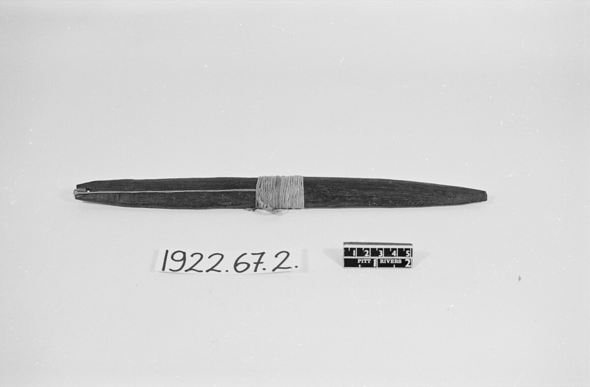
makili
Source term: bull-roarer
makili — the Kurama (T'kurmi) name for the bull-roarer.
The Kurama call themselves Akurmi, the Forest People; in the 1920s some eleven or twelve thousand of them lived in the hills northwest of the Katab. They dealt with their dead at the graves themselves, and in those rites the bull-roarer — makili — played a prominent part. The rules of the place were exact. A younger brother would not approach an ancestral grave unless an elder brother came with him; ashes were thrown over the right shoulder and over the left. Women never went to the graves at all — yet men made their offerings at the graves of female ancestors as readily as at those of male ones, so the dead were honoured across a line the living could not cross.
the bull roarer (makili) plays a prominent part. Noteworthy points are that, although women never resort to the ancestral graves, men perform their rites at the graves of female ancestors as well as of male.
Meek 1931, Tribal Studies in Northern Nigeria, II:175
Particulars
- Object
- A bull-roarer, called makili in the Kurama language.
- Function
- Sounded in the ancestor cult, in rites performed at the ancestral graves themselves, where Meek says it "plays a prominent part".
Source
C. K. Meek, Tribal Studies in Northern Nigeria (1931), vol. II, p. 175