MCCARTHY1956-001 - archaeological depiction
Flat Rocks Ridge oval-and-line engraving
Australia - New South Wales - Hawkesbury River - Dharug (Daruk) country near Gunderman
Function not recorded Candidate only
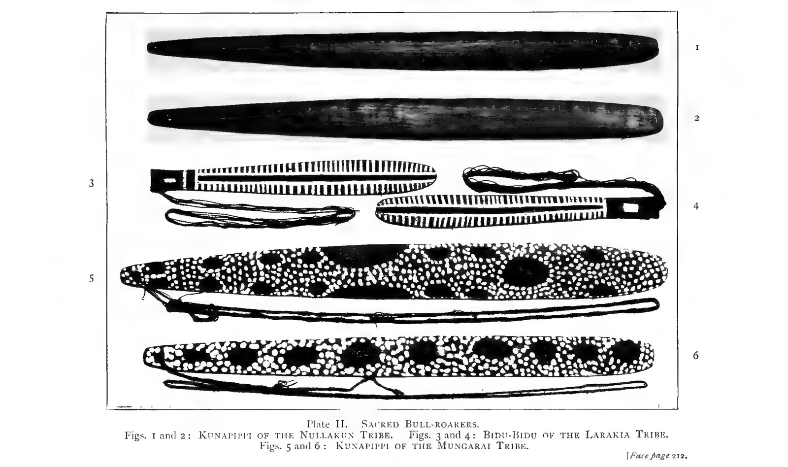
Source term: oval and line, probably a bullroarer
On a saddle of Flat Rocks ridge above the Hawkesbury, north-east of Gunderman, one gallery carries a hundred and forty-five engraved figures and forty-nine grooves worn by the sharpening of axes. Frederick McCarthy numbered every mark in 1956 and worked down the list - possum, echidna, bird track, wallaby, a boomerang thrown at a rodent - and at number 30 wrote an oval and a line running from it, probably a bullroarer. If he read it right, this is the instrument shown rather than found: an outline pecked into sandstone on a ground he published as a Daruk ceremonial place. It carries no date at all, and an oval joined to a line is a thin thing to build on; the rock says nothing about who cut it, or for what.
(30) oval and line, probably a bullroarer
McCarthy 1956:53, Group 10 Series IV catalogue
- Object
- Engraved sandstone motif, not an object: a small oval with a line running from it, numbered 30 in McCarthy's Fig. 11 plan of Group 10 Series IV. No measurement is given for motif 30 in particular; the group's outlines run about half an inch wide and an eighth to three-sixteenths of an inch deep. Group 10 occupies a saddle on the main ridge and holds 145 engravings and 49 axe-grinding grooves.
- Function
- Not recorded.
- Source
- Frederick D. McCarthy, 'Rock engravings of the Sydney-Hawkesbury District; Part 1: Flat Rocks Ridge: a Daruk ceremonial ground', Records of the Australian Museum 24(5) (1956), pp. 37-58; Fig. 11 is the Group 10 Series IV plan on printed p. 52 and the numbered catalogue entry for motif 30 falls on printed p. 53, immediately above Fig. 12. McCarthy describes…
- Source location
Page references
McCarthy 1956, Fig. 11 (printed p. 52) and the Group 10 Series IV catalogue entry for motif 30 (printed p. 53); article pp. 37-58
- Source confidence
- low Gunderman, New South Wales, the public locality at the south-western end of Flat Rocks ridge. The ridge runs about ten miles north-east from here to Mangrove Creek and McCarthy publishes no coordinate for Group 10's saddle, so this is a deliberately generalised public anchor rather than a site coordinate - consistent with the atlas's handling of Australian rock-art points (KTBULL2026-001, BPHED2026-001) for cultural-site sensitivity.