No. EA-ISHIHARA-HERA-001
Ishihara site large hera-shaped pendant
Yokohama, Kanagawa, Japan; Ishihara site · East Asia
Function not recorded Candidate only
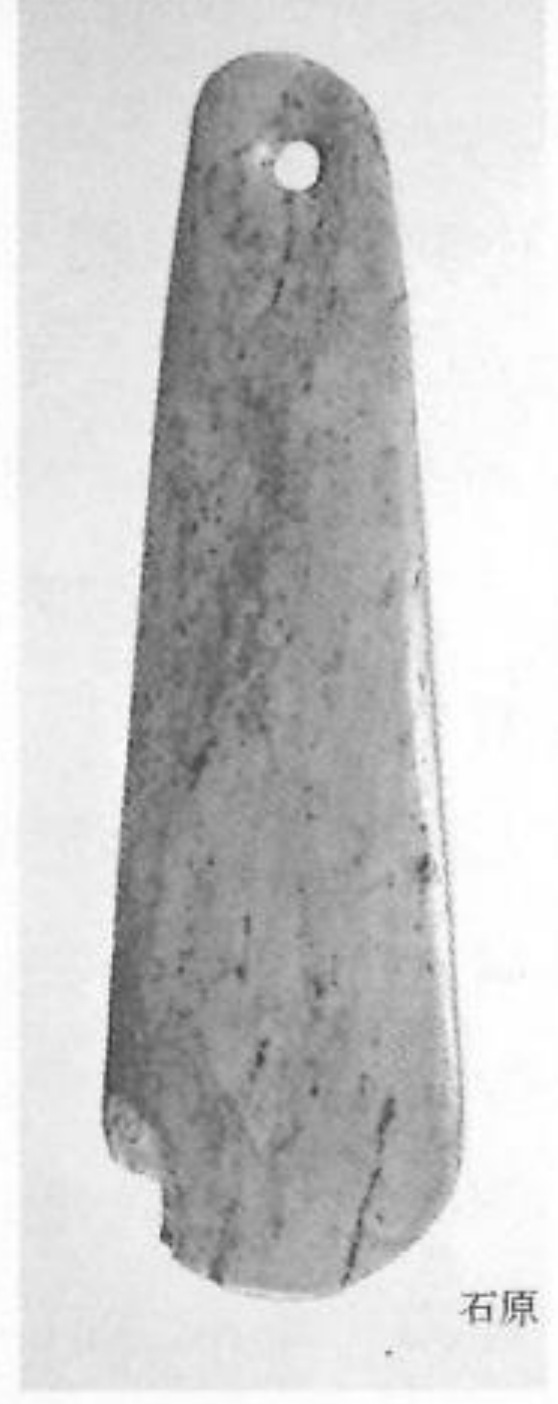
ヘラ状垂飾
Source term: ヘラ状垂飾; hera-shaped pendant; spatula-shaped pendant
ヘラ状垂飾 (hera-jō suishoku): 'spatula-shaped pendant'
Twin oblique scars, raked to almost 45 degrees, are worn into both faces of this serpentinite blade around its suspension hole — the signature it shares with four other oversized pendants from the Kanto and Gunma hills. That wear is what invites the bullroarer comparison; the archaeologist who studied the group read it otherwise, as a cord held taut with the blade pressed against the body, marking a waist ornament worn day to day and cut from green stone carried in from afar, probably a personal badge. Alone among the five, the Yokohama piece was never laid in a pit.
Particulars
- Object
- A large serpentinite blade, over 10 cm long, pierced once near the top; around the hole, both faces are worn in a slant of nearly 45 degrees. Late Early to initial Middle Jōmon.
- Function
- Published as a hera-shaped pendant within the five-object Kanto/Gunma cluster; carries the same bilateral oblique wear, without the secure pit context of its four companions.
Source
Kanagawa Prefecture archaeology lecture (2025), Fig. 2, after Tsubota 2017