No. HAD1898-008
Xhosa / Amakosa nodiwu bullroarer
South Africa · Southern Africa
Restricted
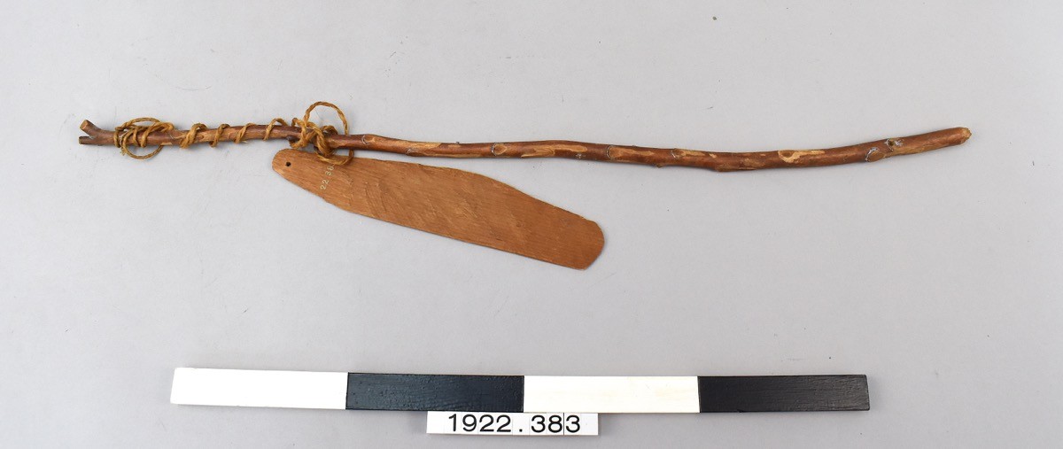
nodiwu
nodiwu: isiXhosa name for the bull-roarer.
Among the Amakosa (Xhosa), the nodiwu was a slat of wood six or eight inches long, an inch or two wide, bevelled to a convex surface and whirled on a thong tied to a small wooden handle; spun round, it carried a long way. It was a boys' toy, George McCall Theal wrote, but a superstition held that playing with it invites a gale of wind, so men kept boys from using it when they wanted calm weather. It had a graver side too: among the Kaffirs, a correspondent of E. B. Tylor reported in 1881, the bull-roarer was sounded for rain-making and to warn women off the rites of initiation.
When a little child is crying inside a hut its mother or nurse will sometimes get a boy to make a noise with a nodiwu outside, and then induce the child to be still by pretending that a monster is coming to devour it.
George McCall Theal, Kaffir Folk-Lore (1882/1886), p. 209
Particulars
- Function
- Bullroarer associated with wind/rain making and initiation warning to women.
Sources
- George McCall Theal, Kaffir Folk-Lore, 2nd ed. (London: Swan Sonnenschein, 1886), p. 209 View · archived
- A. C. Haddon, The Study of Man (1898), ch. X, pp. 291-292
- E. B. Tylor, Academy (9 April 1881), p. 265, via Haddon 1898, pp. 291-292
- Carey-Hobson, Journal of the Anthropological Institute XIV, p. 325, via Haddon 1898, pp. 291-292