No. ARCTIC-003
Northern Labrador Inuit bullroarers Whitridge
Canada · Northern Labrador · North America · Arctic
Play / practical
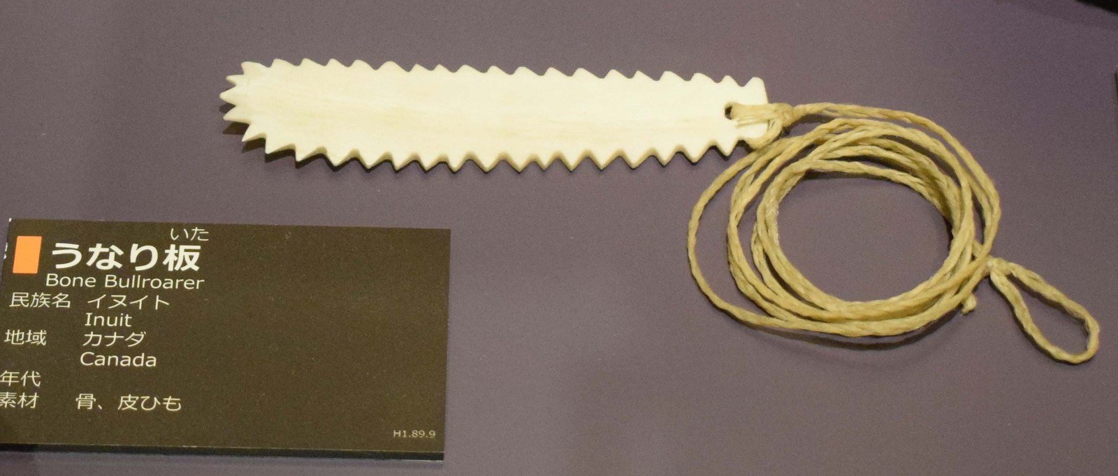
Source term: bullroarer
The Inuit bullroarer was a lozenge-shaped plate of bone or wood, roughly 15 to 20 centimeters long, pierced at one end and hung on a sinew cord that could be tied in turn to a wooden handle; spun rapidly, it gave off a loud whirring sound. In his survey of music-making in northern Labrador, the archaeologist Peter Whitridge notes that such objects, along with the toothed "buzz" disc, turn up reasonably often in precontact Inuit assemblages, because the normally perishable materials that elsewhere rot away survive so well in the northern ground. Both the bullroarer and the buzz are conventionally classed as toys rather than instruments, a line Whitridge questions: one person's noise, he observes, is another one's music, or perhaps ritual sonority.
The sound of bullroarers has certainly been ritually important for many groups worldwide … and a distinct category of manufactured resonance, even one manufactured by children, might be considered a local, subcultural musical (or music-like) genre.
Whitridge 2015, "The Sound of Contact," North Atlantic Archaeology 4:20
Particulars
- Object
- Lozenge-shaped bone or wood plate on sinew cord described for Inuit assemblages
- Function
- A toy.
Source
Peter Whitridge, "The Sound of Contact: Historic Inuit Music-Making in Northern Labrador," North Atlantic Archaeology 4 (2015), pp. 19-20