No. BREEN2004-001
Yandruwandha thuburu exile-signal bullroarer
Innamincka · Cooper Creek · northeastern South Australia
Play / practical
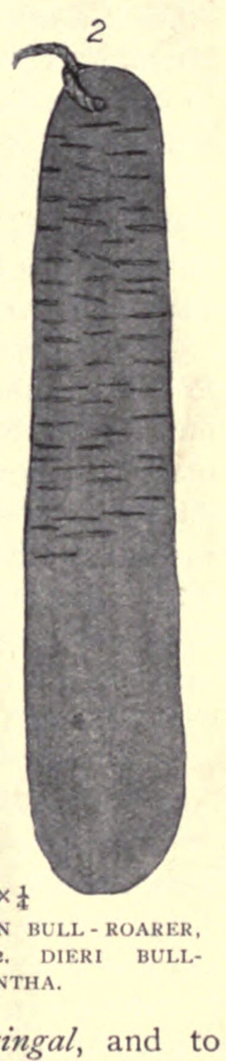
thuburu
Source term: bullroarer
thuburu: Yandruwandha bullroarer; ngarlakurra names its sound
Yandruwandha men used the thuburu as a survival signal inside a system of punishment. A man exiled to the bush for fighting or beating his wife received a shaped plum-bush stick and string. He whirled it to call for food; his parents gathered supplies but his mother's brothers were the relatives permitted to carry them down. He might live this way for two or three months. The language preserves not only the instrument's name but special words for its sound: ngarlakurra and ngarlangarlakurra.
He whirls it around so that someone will come and leave food for him.
Breen 2004:200
Particulars
- Object
- Shaped plum-bush stick with string; whirled through the air.
- Function
- Signal used by an exiled man to call specified relatives to leave food; exile could last two or three months.
Source
Gavan Breen, Innamincka Words: Yandruwandha Dictionary and Stories (Pacific Linguistics 559, 2004), pp. 104, 137, 200-201; account recorded from Benny Kerwin in 1971-1972